
GALVESTON, Texas — The Gulf Coast is preparing for a potentially stormy stretch as Invest 97L continues to organize over the region, bringing thunderstorms and the threat of heavy rainfall to parts of Texas and Louisiana.
The system began as a cluster of thunderstorms over the northern Gulf after a dip in the jet stream over the weekend helped create conditions favorable for development.
Since then, the cluster has evolved into a small tropical disturbance and is showing signs that it could become better organized.
Forecasters are closely monitoring the system because tropical disturbances over the northwestern Gulf can sometimes strengthen quickly, giving residents relatively little time to prepare for worsening conditions.
Invest 97L Has 50% Chance of Becoming Depression
The National Hurricane Center has given Invest 97L a 50% chance of developing into a tropical depression, indicating that the system has a realistic opportunity to become more organized during the coming days.
An “invest” is a designation used by the National Hurricane Center for an area that is being investigated for possible development into a tropical depression or tropical storm within the next seven days.
The designation does not mean that a tropical cyclone has already formed.
In this case, forecasters are watching the disturbance because warm Gulf waters and atmospheric conditions appear reasonably conducive for development.
If the system continues to organize, it could eventually be classified as a tropical depression. However, even if that does not happen, residents along the Gulf Coast could still experience significant weather.
Heat Dome and High Pressure Influence the System
Invest 97L is currently positioned beneath a heat dome and high-pressure system that has been contributing to hot weather across the Midwest.
That high-pressure system is expected to gradually influence the disturbance’s movement, slowly nudging it toward the upper Texas coast.
The system’s relatively small size is another reason forecasters are watching it closely. Small tropical disturbances can sometimes change quickly, particularly in the northwestern Gulf where very warm water and the shape of the coastline can contribute to rapid development.
That means the current forecast could change as additional information becomes available.
Residents should therefore pay attention not only to whether Invest 97L becomes a named or classified tropical system, but also to forecasts for rainfall, thunderstorms and potential flooding.
Texas and Louisiana Could See Heavy Rain
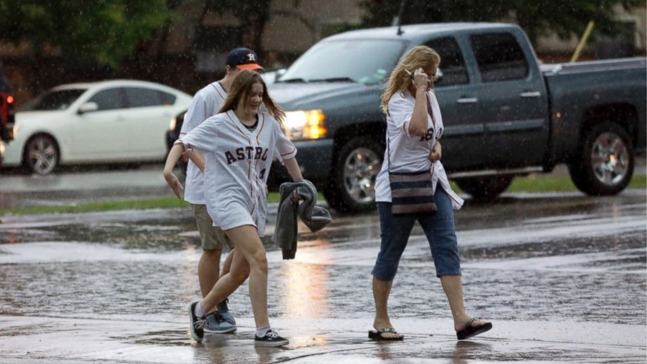
Regardless of whether Invest 97L strengthens into a tropical depression, the disturbance is expected to produce heavy rain and thunderstorms along parts of the Gulf Coast.
Current expectations indicate the system could reach the Texas or Louisiana coast late Monday or Tuesday.
The heaviest rainfall could create localized flooding concerns, especially in areas that experience repeated thunderstorms or already have saturated ground.
Residents from Galveston, Texas, through southwestern Louisiana are being urged to closely monitor the latest forecast over the next couple of days.
The greatest concern is that the system could organize faster than currently expected.
Hurricane Hunters to Investigate Invest 97L
Additional information about the disturbance is expected soon.
Hurricane hunters are scheduled to investigate Invest 97L early Monday morning, allowing forecasters to collect more detailed information about its strength, circulation and overall organization.
Those observations could help determine whether the system is becoming more likely to develop into a tropical depression.
The data could also improve forecasts regarding the system’s movement toward the Texas-Louisiana coastline.
Gulf Residents Urged to Monitor the Forecast
For now, Invest 97L remains a developing tropical disturbance rather than a confirmed tropical depression.
However, the combination of warm Gulf waters, favorable atmospheric conditions and a potentially favorable path toward the coast means residents should not ignore the system.
Even without significant strengthening, heavy rainfall and thunderstorms could affect communities along the upper Texas and southwestern Louisiana coast.
Forecasters will continue monitoring the disturbance closely as new observations become available.
Because small Gulf systems can occasionally intensify faster than expected, residents should keep checking official weather updates and be prepared for changes to the forecast.
Are you watching Invest 97L as it moves toward the Gulf Coast? Let us know what you think in the comments below.
3 thoughts on “50% Chance of Tropical Depression: Invest 97L Moves Toward Texas and Louisiana With Heavy Rain Threat Looming”