
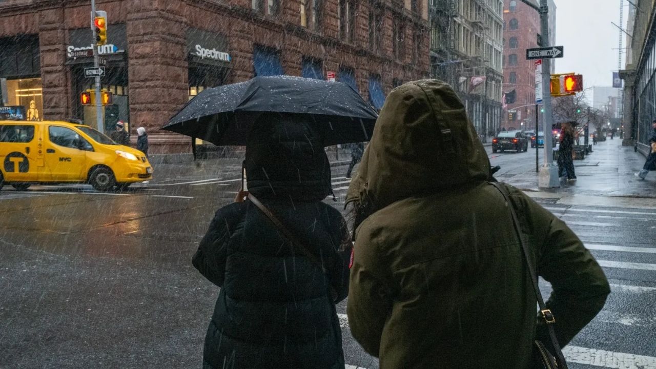
NEW YORK CITY, NY — New Yorkers may be heading toward a warmer-than-usual fall and winter as a potentially powerful Super El Niño develops in the Pacific and begins influencing weather patterns across the United States.
The phenomenon could have a noticeable impact on the Northeast, where temperatures may remain above average through portions of the coming seasons. Early in the pattern, precipitation could also run below normal, potentially producing a warmer and relatively less snowy start to the colder months.
New York City has already experienced an unusually wet stretch. More than 8 inches of rain has fallen during August, making it the city’s wettest August in five years.
The last time New York City received a comparable amount of August rainfall was in 2021, when more than 10 inches was recorded.
Warmth Could Linger Into September
The developing El Niño pattern is expected to begin playing a larger role in the overall weather setup as fall progresses.
For New York City, that could mean continued warmth through September, although the pattern is not expected to prevent every burst of cooler weather.
Forecasters expect brief shots of cooler air could arrive during October as seasonal changes begin to take hold.
That means residents should not assume an uninterrupted stretch of warm weather. Instead, temperatures could fluctuate as the region transitions toward late fall.
The bigger influence from El Niño is expected to become more apparent by late fall and winter, when changes in the jet stream and storm tracks can have a greater impact on regional weather.
Could NYC See Snow in October or November?
Despite the possibility of an overall warmer pattern, snow cannot be ruled out entirely.
Forecasters say some snow is possible by late October or November if a storm develops at the same time that enough cold air is in place.
However, that does not mean a major snowstorm is currently being predicted.
At this point in the year, specific storm events are far too difficult to forecast with confidence. A brief cold spell combined with the right storm track could still produce an early-season snowfall, even during an otherwise warmer-than-normal season.
For snow lovers, however, the broader outlook may not be especially encouraging.
Winter Could Bring More Rain and Sleet
Once winter fully settles in, the forecast becomes more complicated.
Some seasonal projections suggest New York could remain warmer than average while becoming wetter, particularly along the Atlantic Coast.
El Niño can sometimes increase precipitation across parts of the East Coast during winter, creating a setup in which storms are frequent but temperatures are not consistently cold enough for snow.
That could mean more events falling as rain or sleet rather than snow, particularly in New York City.
According to CNN Weather, New York currently has roughly a 50% to 60% chance of above-average precipitation between December and February.
The odds of above-average temperatures during that same period are estimated at about 40% to 50%.
Those numbers do not guarantee a rain-heavy winter, but they point toward a potentially warmer and wetter pattern than many snow enthusiasts would prefer.
Super El Niño Could Make the Pattern Even Stronger
El Niño itself is not unusual. The phenomenon occurs every few years when sea-surface temperatures across the equatorial Pacific become warmer than normal.
Those warmer waters can trigger atmospheric changes that influence jet streams, storm tracks and seasonal weather patterns around the globe.
In the United States, El Niño winters often bring wetter and colder conditions to the Southeast, while parts of the Midwest can become drier and northern areas can experience warmer conditions.
The East Coast is more complicated, with outcomes depending heavily on the exact position of storm tracks and available cold air.
This year’s event is attracting particular attention because there is currently an estimated 70% chance that it could strengthen into a Super El Niño, an exceptionally powerful version of the climate pattern.
If that happens by October, its influence on the late-fall and winter weather pattern could become even more significant.
NYC Snow Lovers May Have to Lower Their Expectations
For New Yorkers hoping for a classic winter filled with deep snow, the developing outlook may be disappointing.
A warmer overall pattern combined with potentially higher winter precipitation could favor rain and sleet over prolonged snow events in the city.
Still, seasonal forecasts are not guarantees. Weather patterns can shift considerably between now and winter, and individual snowstorms depend on short-term conditions that cannot yet be predicted.
For now, the clearest signal is that New York City could experience a warmer-than-normal transition into winter, while precipitation patterns may become wetter later in the season.
And with Super El Niño potentially strengthening, forecasters will be watching the Pacific closely for clues about what NYC’s winter ultimately has in store.
Do you think New York City will get a snowy winter, or will rain and sleet dominate? Share your winter forecast in the comments.
One thought on “NYC Could Be Headed for a Strange Winter as Super El Niño Raises the Odds of Warm Temperatures, Rain and Sleet”