
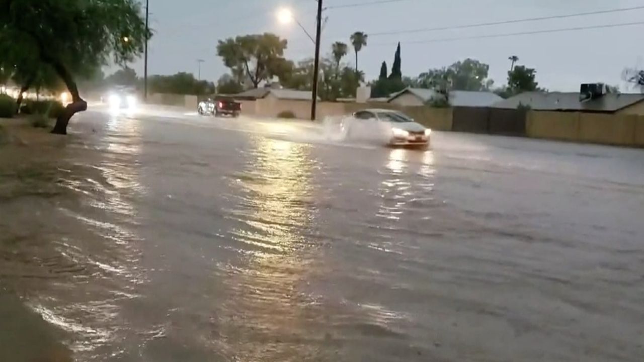
New Mexico, US — A significant surge of moisture moving north from Mexico is expected to bring widespread showers and thunderstorms across parts of the interior West this week, creating a combination of flash flood risks and potentially dangerous wildfire conditions.
The moisture surge is connected to the North American monsoon, a seasonal weather pattern that sends humid air northward from Mexico, the Gulf and the tropical Pacific Ocean. While the monsoon has been active at times this summer, rainfall has remained uneven across the region.
That pattern is now expected to shift, particularly across portions of the Colorado River Basin, as a plume of deep tropical moisture pushes farther north.
The heaviest rainfall is forecast across New Mexico and Colorado, where many areas could receive 1–2 inches of rain, with locally higher totals possible.
Heavy storms could trigger flash flooding
Showers and thunderstorms will also spread westward into Arizona and Utah, although rainfall amounts will vary significantly. Some locations could receive only a few hundredths of an inch, while the wettest areas could collect close to 2 inches of rain.
The biggest concern will come from storms capable of producing intense rainfall in a short period.
Flash flooding could develop beneath the strongest storms, particularly where repeated downpours occur over the same area.
People hiking or camping in the region are being urged to be particularly cautious around canyons, arroyos and small streams. Even when skies are clear at a particular location, storms miles upstream can send sudden walls of water downstream.
Meanwhile, large portions of the desert Southwest, including parts of Nevada and California, are still expected to miss most of the rainfall.
Northwest faces a different kind of storm threat
While moisture streams north from Mexico into the interior West, a separate storm system will move through portions of Oregon, Northern California and northern Idaho through Thursday.
This system is expected to be relatively dry at the surface but could still generate thunderstorms.
Cold air higher in the atmosphere will move over areas where temperatures near the ground remain warm. That combination can create enough atmospheric instability for thunderstorms to develop.
The storms may produce little rainfall but strong wind gusts and small hail.
More importantly, lightning from these mainly dry thunderstorms could ignite new wildfires, particularly in areas where vegetation and fuels remain dry.
Rain could help drought-stricken areas
Despite the flooding concerns, rainfall from the monsoon surge could provide important relief to parts of the West that have been dealing with significant drought.
The Colorado River Basin has experienced especially severe drought conditions, with large areas classified as experiencing severe to exceptional drought.
Low flows on the Colorado River have also contributed to extremely low water levels in two major reservoirs, Lake Powell and Lake Mead.
Both reservoirs play an important role in the region’s water and power systems, including supporting hydroelectric generation at their respective dams.
Lake Powell is currently at only 22% of capacity, while Lake Mead is at 27%, highlighting the continued water-supply pressure facing the region.
More weather changes expected this weekend
The unsettled pattern is not expected to last indefinitely.
Texas Beaches Face Red Tide Warning as Toxic Algae Triggers Respiratory Problems
A push of drier air from the Pacific is forecast to move from west to east across much of the region this weekend.
Before that happens, another surge of tropical moisture could reach the United States from the Gulf of California, moving through northwest Mexico and into the Southwest later this week.
There is also the possibility that this tropical moisture organizes into a tropical depression or storm before reaching land. If that occurs, parts of Arizona could experience locally heavy to excessive rainfall from Wednesday night into Thursday.
The combination of heavy monsoon storms, isolated flash flooding, drought and dry lightning means conditions could vary dramatically from one part of the West to another over the coming days.
For residents, travelers and outdoor enthusiasts, keeping up with local weather alerts will be especially important as storms develop and move across the region.
Are you seeing the effects of this weather pattern in your area? Share your experience and thoughts in the comments.