
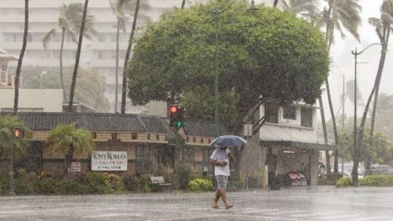
Hilo, Hawaii — Hawaii is facing another dangerous tropical weather threat just days after Hurricane Lala brought widespread heavy rain and significant damage to the islands.
Tropical Storm Moke is expected to track south of the Hawaiian island chain later this week and into early next week, but forecasters warn the storm could still deliver heavy rain, strong winds, dangerous surf and renewed flooding concerns.
The storm is taking a somewhat farther-south path than Lala did. However, forecasters say Moke is a larger system, with showers and thunderstorms already extending hundreds of miles from its center.
Moke Could Strengthen Before Reaching Hawaii
As of late Friday morning, Moke was located approximately 660 miles southeast of Hilo, on the northeast coast of Hawaii’s Big Island.
The storm was moving west-northwest at about 10 mph and could potentially reach hurricane strength before reaching the longitude of the Big Island.
Forecasters say the exact track will be critical in determining how much rain reaches Hawaii. Even a relatively small shift north or south could significantly change rainfall totals across the islands.
“Moke is tracking farther south than Lala did,” hurricane experts said. “However, Moke is a larger storm with showers and thunderstorms currently extending hundreds of miles from the center of low pressure.”
Saturated Ground Raises Flooding Risk
The biggest concern may not be the storm’s strongest winds but the heavy rainfall falling on already saturated ground.
Forecasters warn that it would not take much additional rain to trigger flash flooding, mudslides and washouts. Some roads and drainage systems are still damaged or clogged with debris following Lala, while some hillsides remain unstable.
The Big Island is expected to receive 4–8 inches of rain, with local totals potentially reaching 8–12 inches. Hilo could receive approximately 2–6 inches of rain, while much of the rest of the Hawaiian Islands could see 1–2 inches.
Track Will Determine How Much Rain Falls
Forecasters say a farther-south track or rainfall concentrated closer to Moke’s center would likely produce lower rainfall totals across Hawaii.
However, a northward shift could bring significantly heavier rain, particularly if the storm strengthens and its rain bands become more intense.
High pressure northeast of Hawaii is also expected to strengthen somewhat, potentially pushing drier air southwestward toward the islands.
That dry air could help limit widespread excessive rainfall over northern portions of the Big Island and across much of the rest of the island chain.
Hawaii Still Recovering From Lala
The timing of Moke is particularly concerning because Hawaii is still dealing with the aftermath of Lala.
Between Aug. 14 and Aug. 17, Hilo received nearly 15 inches of rain associated with Lala, an amount roughly 1.5 times the city’s historical average rainfall for the entire month of August.
Some parts of the Big Island received 2–3 feet of rain, while the maximum observed rainfall reached 43.55 inches.
Lala also caused extensive damage, including scattered power outages and rain- and wind-related impacts across portions of the islands.
Strong Winds and Dangerous Surf Also Expected
Because Moke is expected to pass south of the Big Island, the strongest winds may occur within spiral rain bands and squalls rather than directly around the storm’s center.
Some areas, particularly higher elevations on the Big Island, could experience 40–60 mph wind gusts. Meanwhile, large swells generated by Moke will spread outward toward Hawaii.
The southeast and southern sides of the islands could experience large breakers, dangerous surf and strong rip currents. Some coastal areas could also see overwash and coastal flooding.
Hawaii Faces Another Dangerous Weather Test
Moke’s eventual track and strength will determine the severity of its impacts, but forecasters are already warning residents not to underestimate a storm simply because its center is expected to remain south of the islands.
With saturated soil, unstable hillsides and damaged infrastructure still present after Lala, another round of heavy rain could quickly create dangerous conditions.
Officials and residents across Hawaii will be watching Moke closely as the storm approaches, particularly because even a modest change in its track could significantly alter the amount of rain and wind reaching the islands.
Do you think Hawaii is prepared for another tropical threat so soon after Hurricane Lala? Share your thoughts in the comments below.
One thought on “Tropical Storm Moke Takes Aim at Hawaii With Heavy Rain and Dangerous Surf Just One Week After Hurricane Lala”