
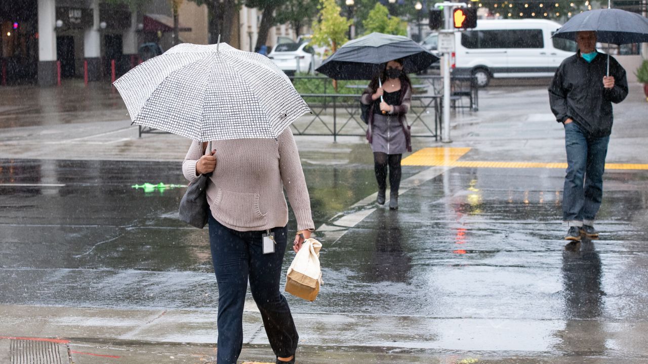
WESTERN UNITED STATES — Much of the West could be heading into a noticeably wetter stretch of weather as a strengthening El Niño pattern develops across the Pacific.
The National Oceanic and Atmospheric Administration’s Climate Prediction Center is forecasting above-average rainfall across nearly the entire Western United States through mid-September.
The outlook covers the period from Sept. 7 through Sept. 15, with some of the strongest precipitation signals appearing across the Southwest.
Forecasters say an unsettled weather pattern is expected to remain in place through the middle of the month, raising the possibility of additional rain across areas that can experience significant weather changes during this time of year.
The forecast could be particularly important for Southern California, where tropical moisture may contribute to periods of heavier rainfall.
NOAA Forecasts Above-Normal Precipitation
NOAA’s Climate Prediction Center said the West is favored to experience widespread above-normal precipitation through mid-September.
“An unsettled pattern and widespread above-normal precipitation are favored for the West through mid-September,” the Climate Prediction Center wrote.
The agency also warned that tropical moisture could produce heavy rainfall in some areas, particularly across the Southwest.
For Sept. 9 through Sept. 15, NOAA gives much of the West a 33% to 40% chance of above-normal precipitation. The probabilities become higher in several areas.
The Southwest, Great Basin and Rockies have a 40% to 50% chance of receiving above-normal precipitation during the forecast period.
Southern California and southwestern Arizona have the strongest outlook, with a 50% to 60% chance of above-normal precipitation.
That does not guarantee heavy rain, but it signals that wetter-than-average conditions are considerably more likely than normal.
Southern California Could See the Heaviest Rain
Southern California is one of the areas receiving particular attention because of the possibility of moisture moving north from the tropics.
The region’s Labor Day forecast has remained uncertain because of a tropical system developing off the coast of Baja California.
Meteorologists say the system could influence rainfall across Southern California, although the eventual impact remains difficult to determine.
“It could be a very wet time period, or we may see no rain at all,” meteorologist DiCarlo said.
That wide range of possibilities highlights the uncertainty surrounding the tropical system and its eventual track.
Weather models have shown at least a small possibility of Marie strengthening to hurricane intensity in the coming days. One model has even suggested that the system could bring 2 inches of rain or more to parts of Southern California.
However, meteorologists estimate the likelihood of that scenario at only around 5% to 10%, meaning it remains a lower-probability outcome rather than the most likely forecast.
Most Areas Could See Light to Moderate Rain
Despite the possibility of locally heavy rainfall, the more likely scenario calls for light to moderate rain across the region.
Meteorologists expect the tropical system could bring rainfall between Saturday and Monday, with less than an inch of rain in most areas.
That means the region is not necessarily facing a widespread major rainfall event. Instead, the forecast suggests that localized areas could experience heavier precipitation depending on how tropical moisture develops and where it moves.
Residents across Southern California and the broader Southwest will therefore want to keep an eye on updated forecasts as the system evolves.
El Niño Strengthens Across the Pacific
The broader reason behind the increasingly wet outlook is the strengthening El Niño pattern in the Pacific Ocean.
According to the Climate Prediction Center, El Niño has strengthened in recent weeks. Forecasters now see a 90% chance of a very strong El Niño event during the Northern Hemisphere fall and winter of 2026-27.
El Niño can influence atmospheric circulation and shift weather patterns across large portions of the United States. For the West, the current outlook points toward a wetter and more unsettled pattern during the coming weeks.
Rain Outlook Extends Into Mid-September
For now, the strongest message from forecasters is that the West should prepare for above-average precipitation through mid-September.
The Olympic Peninsula in the Pacific Northwest is the notable exception, with rainfall expected to remain near normal. Elsewhere, residents should be prepared for changing conditions, particularly across the Southwest, Great Basin and Rockies.
While the exact amount of rain will depend on individual storm systems and the movement of tropical moisture, the overall pattern suggests a wetter-than-usual start to September for much of the Western U.S.
Are you expecting rain where you live this week? Tell us what the weather has been like in your area in the comments.