
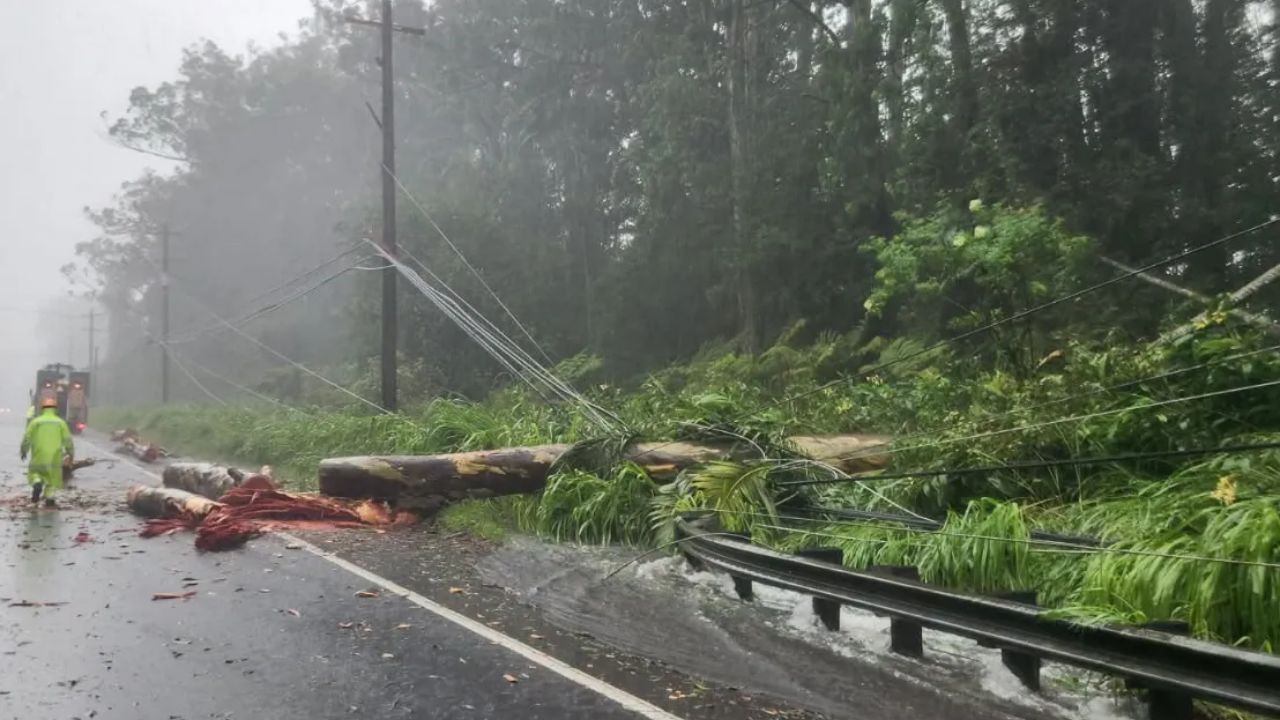
Hilo, Hawaii — Hawaii’s Big Island is facing another potentially dangerous round of heavy rain just days after powerful storms caused flooding across parts of the state. Forecasters are now monitoring a tropical system that could pass south of the island this weekend while delivering up to 15 inches of rain in some locations.
The threat comes after Hurricane Lala brought flooding rainfall to Hawaii on August 15–16, leaving already vulnerable areas facing the possibility of another significant soaking.
New Tropical System Could Bring 15 Inches of Rain
The National Hurricane Center is monitoring Tropical Depression Two-C, a disturbance that had not yet strengthened into a tropical storm as of August 20.
Forecasters expected the system to become a tropical storm by August 21, although they emphasized that whether it reaches tropical-storm strength may not significantly change the amount of rain expected across Hawaii.
The system is forecast to produce 5 to 10 inches of rainfall across the Big Island, with isolated locations potentially receiving up to 15 inches.
Other Hawaiian islands could also see substantial rainfall, with 1 to 3 inches generally expected and isolated totals reaching 5 inches.
Officials Warn of Life-Threatening Flooding
The biggest concern is not simply the amount of rain but where and how quickly it could fall.
The National Hurricane Center warned that the rainfall could produce life-threatening flooding and mudslides, particularly across steep terrain and locations that were recently affected by Lala.
“This rainfall may produce life-threatening flooding and mudslides, especially in steep terrain and over areas that were affected recently by Lala,” the hurricane center said in its August 20 update.
That warning is especially significant because areas that have already experienced flooding can remain vulnerable to additional heavy rainfall.
Storm Tracking Near Hawaii
At the time of the hurricane center’s update, the system was approximately 900 miles east-southeast of Hilo and moving west-northwest at about 15 mph.
Its maximum sustained winds were around 35 mph, just below the 39-mph threshold required for tropical-storm status.
Forecasters expect the system to follow a path somewhat similar to Hurricane Lala, although its projected route is expected to remain farther south.
The system is not expected to become a hurricane, according to the current forecast.
Exact Track Could Still Change
Although current projections keep the system south of the Big Island, officials caution that the forecast remains uncertain.
The National Weather Service in Honolulu said the storm could still shift north or south as it approaches the islands. Weather officials are also warning residents not to focus exclusively on the storm’s projected center.
“Impacts from rain, wind, and surf can be experienced well outside the center of the storm so do not focus too much on the exact track,” the weather service said.
That means communities outside the eventual centerline could still experience dangerous conditions.
More Tropical Systems Being Watched
The Hawaii threat is not the only tropical activity being monitored in the Pacific.
The National Hurricane Center is also watching two additional disturbances in the Eastern Pacific that could potentially develop into tropical storms.
One system is located several hundred miles south of Mexico’s southern coast, while another is positioned several hundred miles south-southwest of the Mexican coastline.
Meanwhile, Hurricane Lala was moving slowly northward on August 20 with sustained winds of 90 mph.
For Hawaii, attention remains focused on the approaching system and the possibility of another round of heavy rain just days after recent flooding.
Residents, particularly those in areas prone to flooding or mudslides, will want to follow updated forecasts as the storm’s track becomes clearer.
Do you think Hawaii is prepared for another round of potentially dangerous rainfall so soon after the recent flooding? Share your thoughts in the comments below.
2 thoughts on “Another Major Rainmaker Is Headed Toward Hawaii After Recent Flooding, With Up to 15 Inches Possible on the Big Island”