
SOUTHERN CALIFORNIA — A rare burst of tropical moisture could reach parts of Southern California this weekend as Hurricane Marie continues spinning hundreds of miles offshore in the Pacific Ocean.
While the hurricane is not expected to make landfall in California, meteorologists are closely watching the storm because its moisture may travel much farther than the storm itself. High-altitude winds could pull tropical moisture northward and deliver beneficial rain showers to portions of Southern California, southern Nevada and the western Four Corners.
Marie strengthened into a Category 1 hurricane Wednesday evening and is forecast to continue drifting north while maintaining hurricane strength for the next several days before eventually weakening over open water.
The biggest impact for California is expected to come not from the hurricane’s center, but from the moisture flowing away from it.
That setup could create an unusual late-summer opportunity for rainfall across areas that often go long stretches without meaningful precipitation.
Flooding Is Not Expected, But Rain Could Be Beneficial
Despite the attention surrounding Hurricane Marie, forecasters are not currently expecting widespread flooding in Southern California from the storm.
Instead, the focus is on scattered tropical rain showers that could bring welcome moisture to dry landscapes across the region.
Southern California has experienced tropical rain events before, but they remain relatively uncommon compared to the more frequent weather systems that arrive during the winter months.
This weekend’s setup appears to depend heavily on upper-level winds capable of transporting moisture away from Marie and into the Southwest.
If those atmospheric conditions develop as expected, communities across Southern California could receive periods of rainfall while neighboring areas of southern Nevada and the western Four Corners also see increased shower chances.
Residents should continue monitoring local forecasts as the weekend approaches because the exact placement of tropical moisture can still shift.
California Beaches Could See Dangerous Surf and Rip Currents
While inland communities may benefit from possible rainfall, people heading to the coast could face an entirely different threat.
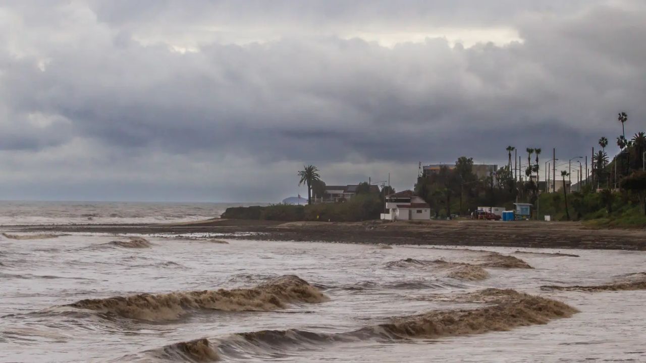
South-facing beaches in Southern California may experience high surf and dangerous rip currents as Hurricane Marie continues generating powerful ocean swells across the Pacific.
Even though the hurricane itself will remain well offshore, waves produced by distant tropical systems can travel hundreds of miles before reaching the coastline.
That means sunny skies at the beach do not necessarily indicate safe swimming conditions.
Beachgoers are being urged to pay close attention to ocean warnings, particularly at beaches exposed to southern swells where stronger surf and hazardous currents may develop throughout the weekend.
The combination of elevated waves and rip currents could create dangerous conditions for swimmers, surfers and anyone entering the water along affected beaches.
Hurricane Lowell Becomes Bigger Concern for Hawaii
Marie is only one part of an unusually active week across the tropical Pacific.
Another powerful system, Hurricane Lowell, rapidly intensified into a Category 4 hurricane with peak winds near 140 mph.
Lowell was positioned south of Hilo, Hawaii, and forecasters expect the hurricane to make a sharp turn toward the north during the coming days.
That projected movement has placed Hawaii under increased attention, particularly as the storm could approach the islands as a major hurricane early next week.
At the moment, Kauai is considered the Hawaiian island facing the greatest potential risk, while nearby Niʻihau is also being closely monitored as forecast models continue adjusting Lowell’s projected track.
Officials in Kauai have already begun preparing facilities that could be activated if hazardous weather threatens the island.
However, emergency officials emphasized that the storm is still several days away and it remains too early to determine exactly when shelters or other emergency operations may become necessary.
Hurricane Karina Also Churning Across the Pacific
The third major storm attracting attention is Hurricane Karina, another impressive system currently moving across the Pacific basin.
Karina reached Category 3 strength with sustained winds near 115 mph Thursday and has produced striking satellite imagery as it continued over open ocean waters.
Unlike Lowell, Karina is not currently expected to pose a major threat to populated areas.
Forecasters believe the hurricane will weaken quickly over the weekend as it tracks north and east of Hawaii while remaining safely offshore.
For Southern California residents, the overall takeaway remains centered on Hurricane Marie rather than the other two storms.
Marie is expected to stay well away from the coastline, but its tropical moisture could still bring an unusual round of weekend showers while ocean swells create hazardous beach conditions.
As forecasts continue evolving, residents across California and Hawaii will be watching closely to see how these three powerful Pacific hurricanes shape weather across the region.
Do you think Southern California will finally get a beneficial tropical soaking this weekend, or are you more concerned about the dangerous beach conditions? Share your thoughts in the comments below.
2 thoughts on “California Could Get Rare Tropical Rain as Hurricane Marie Sends Moisture Toward Southern California”