
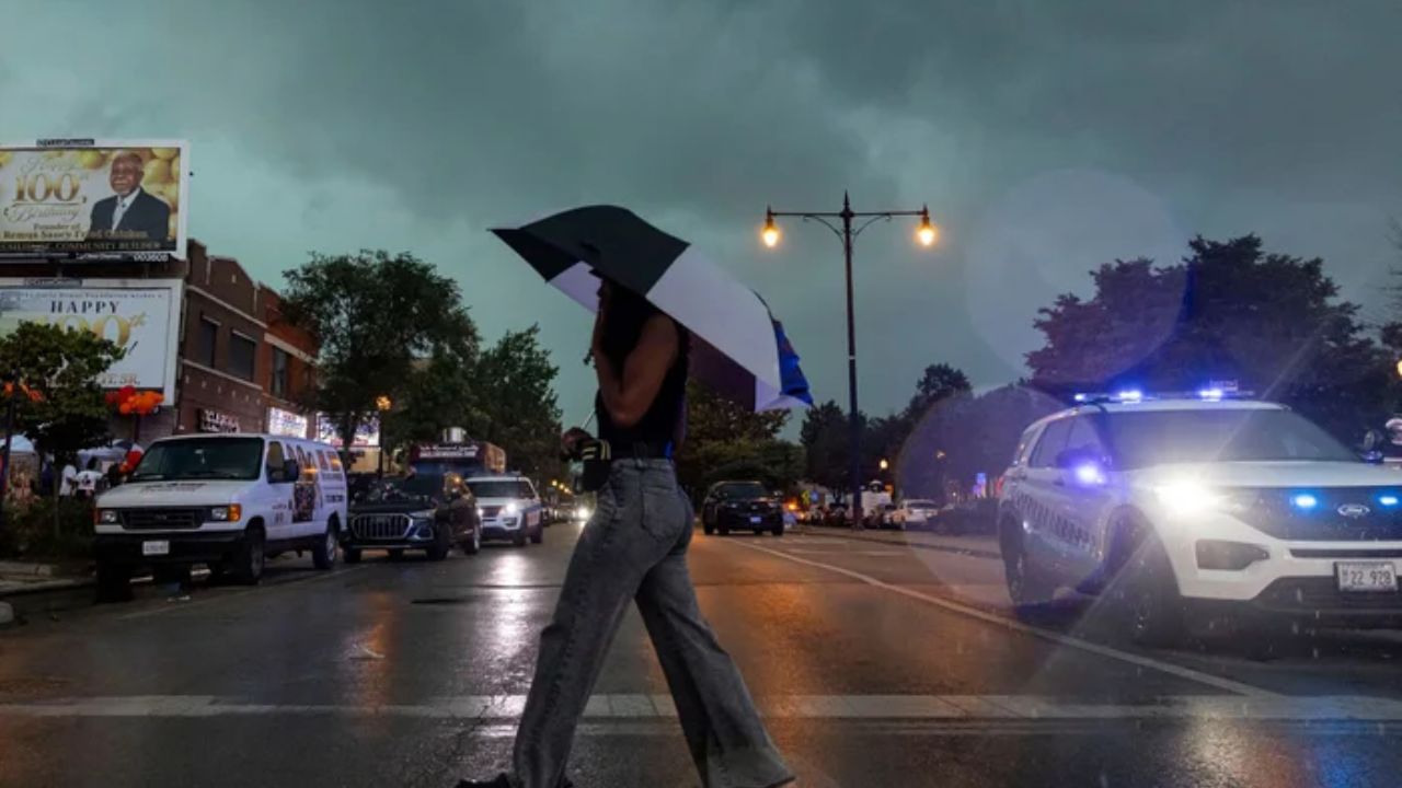
DETROIT, Mich. — Another round of severe thunderstorms is expected to sweep across parts of the Midwest and Mid-Atlantic Friday, threatening more than 30 million people just as communities begin recovering from a destructive day of weather.
The latest storms are developing along nearly the same corridor that was battered Thursday by damaging winds, heavy rain and hail.
More than 500,000 customers remained without power early Friday, with outages concentrated primarily around the Detroit metropolitan area and southeastern Pennsylvania, including Pittsburgh.
The severe weather is expected to continue shifting south through the holiday weekend, keeping several regions on alert for additional damaging storms and flooding.
Thursday Storms Leave Widespread Damage
Thursday’s storms created a massive trail of destruction stretching approximately 470 miles from southern Michigan to Delaware.
In Detroit, Mayor Mary Sheffield described the storm damage as significant. Aerial images shared by the mayor showed at least one building destroyed and another with its roof torn away.
The storms also brought dangerous flooding and wind damage to Pittsburgh.
The Pittsburgh Public Safety Department reported that heavy rainfall caused flooding, while trees and power lines were knocked down across parts of the area.
In Washington, D.C., a large tree fell onto a row house in the Capitol Hill neighborhood Thursday night. The D.C. Fire and EMS Department said everyone inside the home was safely evacuated.
The storms were not limited to wind damage.
Buffalo, New York, recorded a daily rainfall record of more than 3 inches, adding to the widespread impacts across the region.
More Than 30 Million Face Storm Threat
The severe weather pattern began Tuesday and has repeatedly affected portions of the Great Lakes, Ohio Valley and Mid-Atlantic.
Forecasters say the storms are riding along the northern edge of a heat dome anchored over the Central Mississippi Valley. That setup has helped fuel several days of thunderstorms, heavy rain and damaging winds.
On Friday morning, severe thunderstorms were already developing across parts of southern Michigan.
The NOAA Storm Prediction Center issued a Level 2 out of 5 risk for severe thunderstorms across a corridor stretching from southern Michigan toward northern North Carolina.
Damaging wind gusts are expected to remain the primary concern.
Storms Push Toward Pennsylvania and Mid-Atlantic
As Friday progresses, thunderstorms are expected to move farther east and south.
Storms are forecast to push into Pennsylvania and the Mid-Atlantic around midday Friday, potentially bringing another round of strong winds and heavy rainfall.
Communities that experienced damage Thursday could face additional problems if strong storms move through the same areas again.
The ongoing threat also comes as residents prepare for the holiday weekend, potentially disrupting travel and outdoor plans across portions of the region.
Officials and residents are being urged to remain alert as conditions change throughout the day.
Heat Dome Begins Breaking Down Saturday
The weather pattern is expected to undergo a major shift Saturday as the heat dome finally begins to break down. As that happens, the most significant storm threat will move farther south toward the Carolinas.
By Saturday afternoon, storms are expected to develop across North and South Carolina, including areas around Raleigh, Charlotte and Columbia.
California Could Get Rare Tropical Rain as Hurricane Marie Sends Moisture Toward Southern California
The Storm Prediction Center has placed another Level 2 severe weather risk over the region. Damaging storms will remain possible, while heavy rainfall could create additional hazards.
A Level 1 out of 4 flash flood risk is also in place for Saturday.
Severe Weather Threat Shifts South
The latest forecast suggests the relentless storm pattern will gradually move away from the northern portions of the Midwest and Mid-Atlantic and toward the Southeast.
However, the transition will not happen before another potentially dangerous round of storms affects communities already dealing with widespread damage and power outages.
With more than 500,000 customers still without power, additional severe weather could make recovery efforts even more difficult.
Residents across the threatened areas should continue monitoring local forecasts and weather alerts, particularly if storms are expected near their communities.
The holiday weekend may bring improving conditions to some areas, but the storm threat will remain active farther south.
Have you experienced severe weather or power outages from these storms? Share your experience and location in the comments below.