
Miami, Florida — Tropical Storm Fay has formed in the Atlantic Ocean, but the storm poses no threat to South Florida or any other land areas at this time. Instead, residents across Miami-Dade and Broward counties are facing a more immediate concern: another stretch of hot, humid weather followed by potentially heavy afternoon thunderstorms.
Fay became the sixth named storm of the 2026 Atlantic hurricane season on Sept. 20, according to the National Hurricane Center. The storm was located hundreds of miles southwest of the Azores and remained far from the United States.
There are currently no coastal watches or warnings associated with Fay, and forecasters do not expect the storm to approach Florida.
Tropical Storm Fay Remains Far From Florida
As of the National Hurricane Center’s 5 a.m. ET advisory on Sept. 20, Fay’s center was located near 33N, 33W, roughly 450 miles southwest of the Azores.
The storm had maximum sustained winds of 45 mph and a minimum central pressure of 1004 millibars.
Fay was moving at only about 5 mph, with forecasters expecting its general motion to continue for another day before a turn toward the southwest.
Despite becoming a named storm, Fay is not currently a Florida threat.
The storm is expected to encounter increasingly unfavorable conditions that will limit its ability to strengthen. Forecasters said Fay could gain some additional strength during the next 12 to 24 hours as it moves through relatively moist air and an environment containing a mix of warmer and cooler conditions.
However, increasing wind shear and dry air are expected to weaken the system.
Fay Is Not Expected to Become a Hurricane
The latest forecast does not indicate that Fay will become a hurricane.
The National Hurricane Center expects the storm’s opportunity for additional strengthening to end as environmental conditions deteriorate. Fay could become a remnant low by Tuesday before eventually dissipating later in the week.
That means the storm is expected to remain a distant Atlantic system rather than becoming a threat to the U.S. mainland.
For Florida residents, the focus should therefore remain on local weather rather than Fay’s distant track.
Miami and Fort Lauderdale Face Heavy Thunderstorms
While Fay stays far away, South Florida is dealing with a familiar late-summer weather pattern.
The National Weather Service expects scattered to numerous showers and thunderstorms across the Miami-Fort Lauderdale metropolitan area as deep tropical moisture remains in place.
Storms are expected to become most concentrated across interior areas and the east coast metro region during the afternoon and early evening.
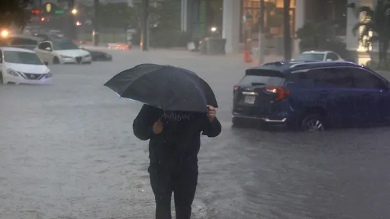
Some thunderstorms could produce torrential downpours and localized street flooding, particularly in urban locations and areas with poor drainage.
Isolated locations could receive several inches of rain, although rainfall amounts will vary considerably from one neighborhood to another.
Temperatures are expected to reach the upper 80s to lower 90s before thunderstorms develop.
Rain chances are expected to remain elevated through much of the upcoming week, meaning South Florida residents could see repeated rounds of afternoon storms even though Fay itself poses no danger.
Two More Tropical Waves Are Being Watched
The Atlantic is not quiet despite Fay remaining far from land.
The National Hurricane Center is also monitoring two tropical waves across the Atlantic and Caribbean.
One wave is located in the central Atlantic, with its axis extending along 45W from approximately 6N to 21N. The disturbance is slowly moving westward.
A second tropical wave is located in the western Caribbean, with its axis along 84W south of 20N. It stretches from near the coast of Nicaragua toward northeastern Costa Rica and is moving westward at roughly 7 to 12 mph.
Neither wave currently represents an immediate threat to South Florida.
Hurricane Season Still Has Time Left
The Atlantic hurricane season is far from over.
Flood Threat Could Stretch Into Next Week as Heavy Rain Soaks the Midwest and East Coast
The official peak of the season occurred on Sept. 10, but the period from mid-August through mid-October typically produces much of the basin’s activity.
The next storm to receive a name after Fay would be Gonzalo.
There is also an unusual historical possibility surrounding the 2026 season. If the Atlantic produces no hurricanes by Nov. 30, it would be only the third season on record without a hurricane, following 1907 and 1914. Records from before the satellite era are less complete, however, because forecasters depended heavily on observations from ships and coastal areas.
Since the satellite era began in 1966, the Atlantic has had two seasons with only two hurricanes: 1982 and 2013.
For now, South Florida residents have no reason to be concerned about Fay itself. The bigger near-term issue is repeated heavy thunderstorms and localized flooding across Miami-Dade, Broward and surrounding areas.
Are you seeing heavy thunderstorms or flooding in South Florida right now? Share your city and weather conditions in the comments.