
MARYLAND — A pleasant stretch of weather across Maryland is expected to continue through Wednesday afternoon, but the comfortable conditions will gradually give way to higher humidity and an increased chance of storms later in the week.
The region will remain mostly dry through early Wednesday evening, allowing residents to enjoy another largely quiet day. However, conditions will begin changing as moisture builds across the area.
Humidity is expected to remain relatively low through Wednesday morning before noticeably increasing by Wednesday evening. Temperatures will also climb into the mid-to-upper 80s Wednesday afternoon, making the air feel warmer as moisture returns.
The shift in conditions will set the stage for several rounds of wet weather expected to move across Maryland beginning Wednesday night.
Storms Could Become Strong Thursday
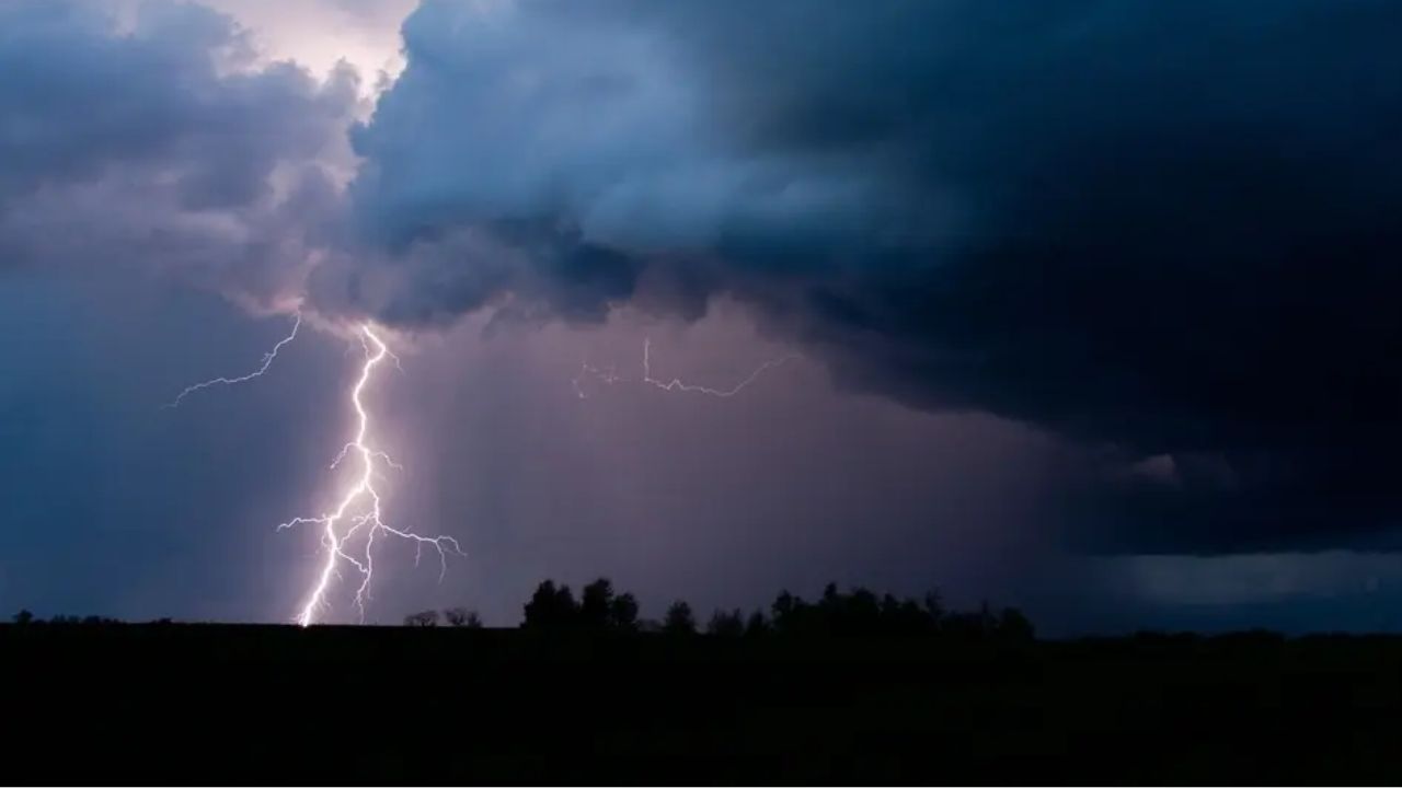
The biggest weather concern currently appears to be Thursday, when scattered thunderstorms and periods of heavy rain could affect much of the region.
Forecast guidance indicates that the chance of storms will begin increasing by late Thursday morning before reaching its highest point from the early afternoon through mid-evening hours.
Some storms could become strong enough to produce gusty winds, while heavy rainfall may create additional problems in areas that receive repeated downpours.
Not every location will necessarily experience severe weather, but residents should be prepared for conditions to change quickly if thunderstorms develop nearby.
Afternoon temperatures are expected to again reach the upper 80s, while the increasing humidity will make it feel somewhat hotter.
Wet Weather Stretches From Wednesday Night Into Friday
The unsettled pattern will not be limited to Thursday.
Rounds of wet weather are expected from Wednesday night through Friday, with Thursday currently appearing to have the greatest potential for widespread rain and thunderstorms.
Forecasters are continuing to monitor how the storm system develops and moves across the region. The exact timing and intensity of individual storms could change as the forecast gets closer.
For residents making outdoor plans, Thursday is shaping up as the day when weather conditions could be most disruptive.
People traveling or spending extended time outdoors should keep an eye on updated forecasts, particularly during the afternoon and evening when storms are expected to become more active.
Ravens Preseason Game Could See Showers
The unsettled weather could also affect Friday evening plans in Baltimore.
An early forecast for the Ravens’ preseason matchup against the Washington Commanders calls for temperatures in the mid-80s, along with the possibility of spotty showers and thunderstorms.
Kickoff is scheduled for 6 p.m. at M&T Bank Stadium, and the forecast will continue to be refined as Friday approaches.
While it is too early to determine exactly how the weather will look at kickoff, scattered showers or storms could be possible around the game.
Fans heading to the stadium should continue checking the latest forecast before making their plans.
Weekend Weather Looks Better Before Heat Returns
The weather pattern is expected to improve heading into the weekend.
Current forecasts call for high temperatures in the middle 80s, with only a few showers or thunderstorms possible. Compared with Thursday’s potentially stormier conditions, the weekend should offer a much more favorable setup for outdoor activities.
However, the improvement may not last for long.
Looking farther ahead, forecasters are watching the possibility of a late-season heat wave by early to mid-next week. Temperatures could climb again as warmer air builds across the region.
For now, Maryland residents can enjoy the calmer weather through Wednesday before preparing for a more humid and stormy stretch from Wednesday night into Friday.
Are you ready for the return of storms and humidity in Maryland? Let us know how the changing weather could affect your plans in the comments.