
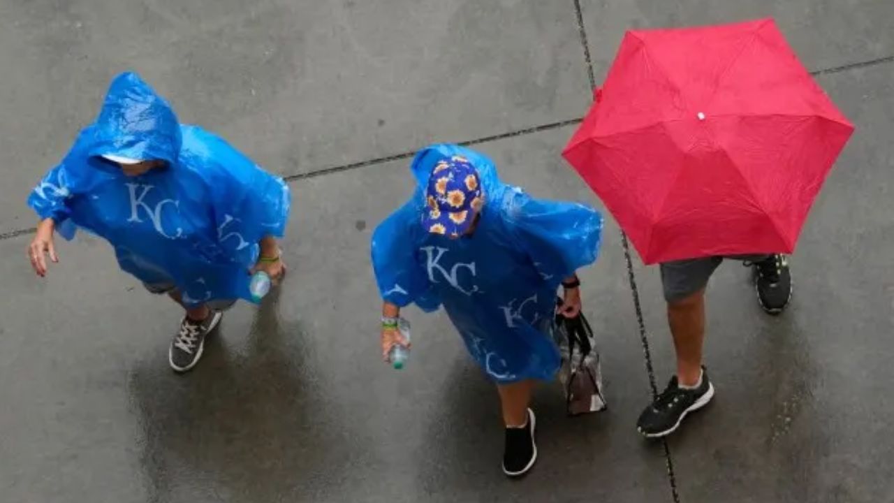
Minneapolis, Minnesota — Another round of heavy rain and drenching thunderstorms is expected to sweep across the Midwest and eventually move into the Northeast, extending a wet weather pattern that could disrupt travel, outdoor plans and agricultural work into next week.
Meteorologists are warning that atmospheric rivers of tropical moisture arriving from both the Pacific and Gulf of Mexico will help fuel pockets of significant rainfall from the Plains to the East Coast. Some areas could receive enough rain to produce flooding, particularly where the ground is already saturated from earlier storms.
The latest round is expected to continue through the weekend before the focus shifts toward the Northeast.
Midwest Rain Could Delay Harvesting
The wet weather is arriving at an important time for farmers across the Midwest.
The annual harvest season is beginning to accelerate, but repeated rainfall could make it more difficult for farmers to get equipment into fields and complete seasonal work.
A recent USDA report said:
“The [wet] pattern matters because it could influence corn and soybean harvest progress, winter wheat planting, soil moisture, pasture conditions and fieldwork at a critical point in the crop calendar.”
Another widespread round of rain was moving across the region Friday after several periods of wet weather earlier in the month.
Through Sunday, 1 to 4 inches of rain could fall from South Dakota to Michigan, with some of the highest totals expected across parts of Iowa, Minnesota and Wisconsin.
Those areas also face the greatest potential for flooding.
Chicago, Milwaukee and Minneapolis Could See Travel Problems
The heavy rain could create problems for motorists, particularly along streets, highways and low-lying areas around major metropolitan areas.
Milwaukee, Minneapolis and Chicago could all experience travel disruptions as downpours move through the region.
Localized flooding could develop where rainfall becomes intense or where several rounds of rain fall over already saturated ground.
The weather could also complicate the weekend for sports fans, with several professional and college football games facing potentially soggy conditions.
Some parts of the Midwest, particularly locations north of Interstate 90, could begin drying out as early as late Sunday. However, more widespread and meaningful improvement is not expected until Tuesday.
That timing coincides with the first official day of fall, as the calendar shifts away from summer.
Northeast Rain Arrives Sunday
While the Midwest remains wet, parts of the Northeast could get a brief break.
Residents across the region are expected to enjoy relatively dry conditions through Saturday, providing an opportunity for outdoor activities before another round of rain arrives.
That changes Sunday.
Rain will begin pushing eastward from the Great Lakes into Pennsylvania and New York State, potentially arriving as early as Saturday night before spreading farther across the Northeast on Sunday.
The atmosphere will contain an unusually strong supply of tropical moisture, allowing some areas to experience heavy rain at times.
3 Tropical Systems Could Develop This Weekend as Mexico and the Southwest Watch Closely
Northern New Jersey Faces Localized Flood Risk
The threat could become particularly concerning in areas that have already received significant rainfall in recent weeks.
Some smaller creeks and streams could rise out of their banks if more than an inch or two of rain falls within an hour, especially across areas just outside New York City in northern New Jersey.
That means even locations that avoid widespread flooding could still experience localized problems in low-lying areas, near streams or where drainage systems become overwhelmed.
Residents should also be prepared for changing travel conditions as heavier downpours move through.
Wet Weather Could Linger Into Next Week
The rain may not disappear quickly after Sunday’s storm.
A persistent area of high pressure could limit atmospheric movement and allow cloudy, damp conditions to linger through the middle of next week and potentially longer across several major Northeast cities.
That could put a damper on early fall plans at beaches, parks and other outdoor destinations.
Coastal areas face another concern.
Coastal Communities Could See Higher Waves and Tidal Flooding
A strong easterly flow stretching from the eastern end of Long Island and the Jersey Shore southward toward the Virginia beaches could produce higher waves, dangerous rip currents and tidal flooding during the middle of next week.
The greatest coastal concerns are expected around Tuesday and Wednesday.
With many beaches no longer staffed with lifeguards during the fall season, beachgoers should exercise particular caution and avoid entering the water when conditions become hazardous.
The combination of persistent rain inland and rougher coastal conditions could make for a challenging transition into fall.
Is heavy rain expected in your area this weekend? Share your city and state in the comments and let us know whether the wet weather is already affecting your travel, outdoor plans or local conditions.