
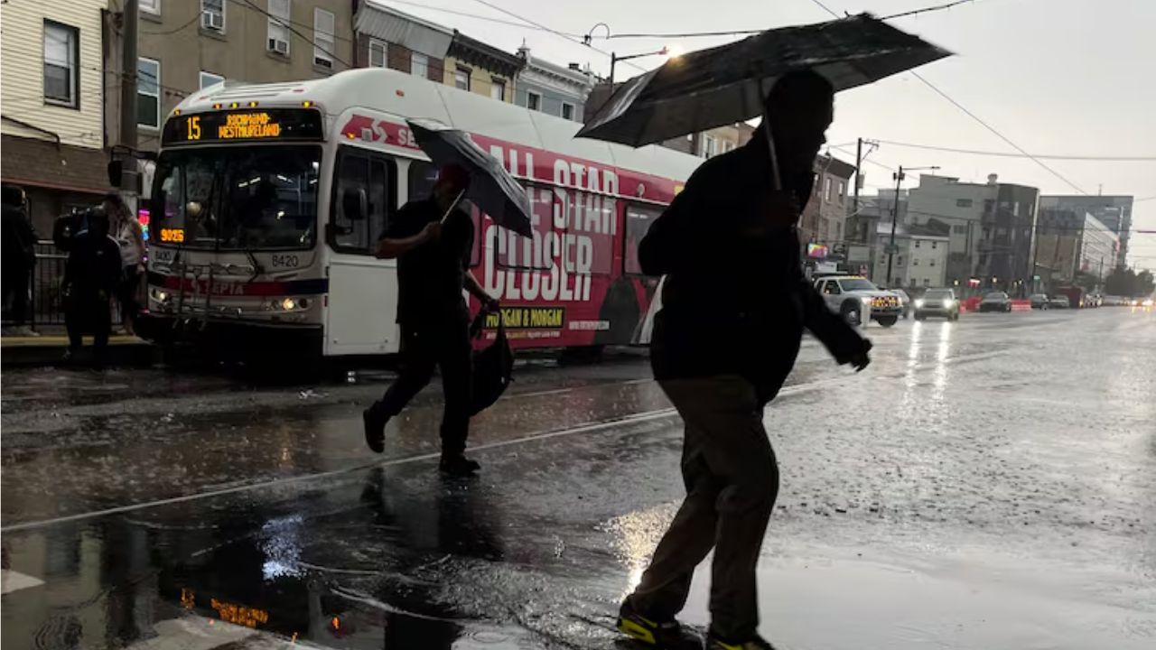
Philadelphia, PA — Humidity is expected to ease across the region Friday as drier air moves in behind a cold front, setting up a more comfortable day before another round of unsettled weather arrives this weekend.
Overnight showers were tied to a cold front that has now pushed south of the area. As that system moves away, skies should gradually clear and humidity levels should fall through the day.
Friday may begin somewhat humid, but temperatures rising into the low to mid-80s will be accompanied by decreasing moisture, making for a more pleasant afternoon across the Philadelphia region.
The break in the humidity, however, will be relatively short-lived.
Saturday brings the weekend’s cooler weather
For anyone making plans this weekend, Saturday is expected to be the more comfortable day.
Cooler air will move into the region, keeping afternoon temperatures mainly in the mid to upper 70s. Skies should remain partly sunny, giving residents a relatively calm day before the next weather system approaches.
The weather pattern begins changing Saturday night as moisture starts returning to the region.
Clouds are expected to increase Saturday evening and overnight, setting the stage for a wetter Sunday.
Sunday could bring heavy rain and thunderstorms
The biggest weather concern arrives Sunday, particularly during the afternoon.
Rain chances will increase as another system approaches the region, with periods of heavy rain and a few thunderstorms possible.
While widespread severe flooding is not currently expected, forecasters warn that minor flash flooding could occur in some locations if heavy rainfall develops over a short period.
Rainfall timing and amounts will become clearer as the system gets closer. For now, Sunday is the day receiving the most attention in the forecast.
No NEXT Weather Alert Day is currently warranted, but residents with outdoor plans may want to keep an eye on updated forecasts as the weekend approaches.
Cooler weather takes over early next week
The unsettled pattern may continue into Monday and Tuesday, with clouds and occasional showers lingering across the region. The bigger change will be the temperature.
After Friday’s mid-80s and Saturday’s upper 70s, temperatures are expected to fall sharply. Monday could see highs around 69 degrees, while Tuesday may struggle to reach the upper 60s.
The cooldown comes as fall officially begins, bringing a noticeable change from the warmer conditions expected this weekend.
By Wednesday and Thursday, shower chances could continue, with afternoon highs remaining in the mid to upper 60s.
Eagles fans face extreme heat in Nashville
Philadelphia Eagles fans traveling to Nashville this weekend for the team’s game against the Tennessee Titans should prepare for conditions that are very different from those expected back home.
Nashville is forecast to experience hot and humid weather, with Sunday afternoon temperatures potentially reaching the upper 90s.
The heat could challenge Nashville’s record high of 99 degrees, set in 2022.
High humidity could make conditions feel closer to 105 to 110 degrees, creating potentially dangerous heat for players and fans attending the game.
3.1 Earthquake Jolts LA Area Near Compton as Shaking Reaches Long Beach and Glendale
Anyone traveling for the matchup should consider lightweight clothing, frequent hydration and breaks from direct heat.
Philadelphia 7-day forecast
Friday: Clouds to sun. High 85, Low 73
Saturday: Partly sunny. High 77, Low 66
Sunday: Showers likely. High 78, Low 67
Monday: Cool, showers. High 69, Low 65
Tuesday: Chance of showers. High 67, Low 62
Wednesday: Chance of showers. High 66, Low 56
Thursday: Chance of showers. High 68, Low 58
What are your weekend weather plans in Philadelphia? Are you expecting the cooler temperatures or preparing for Sunday’s rain? Share your thoughts in the comments.